9386173700
Showing the single result
-
-25%
 Add to WishlistRemove from WishlistAdd to Wishlist4.3 out of 5(897)
 8061 Views
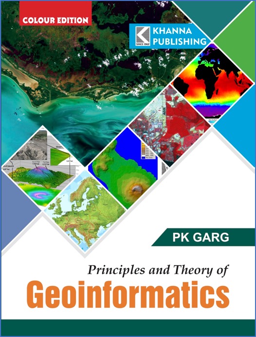
₹499.00Original price was: ₹499.00.₹374.25Current price is: ₹374.25.Geoinformatics combines photogrammetry and remote sensing, image processing as well as other digital spatial data collection methods like GPS, field measurements, digitizing and scanning of maps, spatial data analysis algorithms and geographical data management, and visualization. It is one of the important tools that can help us to map and monitor the changes in the environmen...


